Community Corner
Sandy Could Bring 70 MPH Winds to Stratford
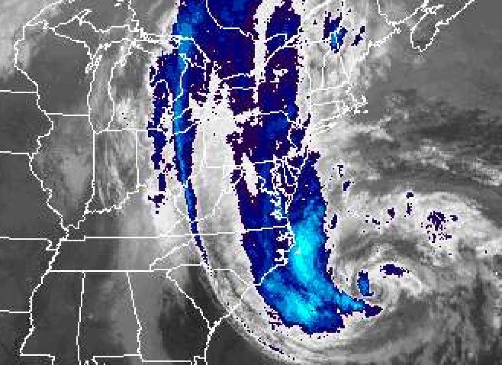
The strongest winds with Hurricane Sandy are forecast to hit Stratford Monday night. Heavy rain is expected to start earlier tomorrow, and continue into Tuesday night.

Below is the latest forecast from the National Oceanic and Atmospheric Administration for Stratford, Conn.
It includes a High Wind Warning, a Coastal Flood Warning, and a Flood Watch.
Today: Cloudy, with a high near 58. Northeast wind around 17 mph, with gusts as high as 34 mph.
Find out what's happening in Stratfordwith free, real-time updates from Patch.
Tonight: A slight chance of light rain. Cloudy, with a low around 50. Breezy, with a northeast wind 23 to 25 mph, with gusts as high as 43 mph. Chance of precipitation is 20 percent.
Monday: Rain, mainly after 8 a.m. The rain could be heavy at times. High near 59. Very windy, with a northeast wind 37 to 40 mph, with gusts as high as 60 mph. Chance of precipitation is 100 percent. New precipitation amounts between three quarters and one inch possible.
Find out what's happening in Stratfordwith free, real-time updates from Patch.
Monday Night: Rain. The rain could be heavy at times. Low around 54. Very windy, with a east wind 41 to 47 mph, with gusts as high as 70 mph. Chance of precipitation is 100 percent. New precipitation amounts between three quarters and one inch possible.
Tuesday: Rain. The rain could be heavy at times. High near 55. Windy, with a southeast wind 33 to 39 mph, with gusts as high as 55 mph. Chance of precipitation is 80 percent. New precipitation amounts between a quarter and half of an inch possible.
Tuesday Night: Showers likely. Mostly cloudy, with a low around 47. Breezy. Chance of precipitation is 70 percent. New precipitation amounts of less than a tenth of an inch possible.
Wednesday: A chance of showers. Mostly cloudy, with a high near 54. Chance of precipitation is 50 percent.
Wednesday Night: A chance of showers. Mostly cloudy, with a low around 43. Chance of precipitation is 30 percent.
At a press conference Saturday, Gov. Dannel P. Malloy said the greatest concern about the storm is the surge it could bring in Long Island Sound.
With the storm expected to last some 36 hours that means the surge could take place over four high tide cycles. The worst of the surge, Malloy said, is expected Monday at midnight.
"We expect coastal flooding worse than Irene and the most severe impact will be from Greenwich to East Haven. We anticipate severe flooding, perhaps the worst we’ve seen in more than 75 years"
He emphasized that many state residents may not realize the extent of the storm's destructive power because of its long duration is "not the 12 hours that Connecticut residents are typically used to."
Get more local news delivered straight to your inbox. Sign up for free Patch newsletters and alerts.